


 60 / 178

Cartografie
174 – (Europe, Italie, Atlas)
-
[BLAEU, Joannes].- Nieuw vermeerderd en verbeterd
groot stedeboek van Piemont en van Savoye, of naauwkeurige beschryving van
derzelver steden, paleizen, kerken en voornaamste gebouwen [...].
's Gravenhaage, Rutgert Christoffel Alberts, 1725.
4 parts in 4 vol. in-f° (53,5 x 34,5 cm) : [4]-111-[40], [100], [88], [122] pp.; 4 engr. titles and 150 plates
(2 plates almost unbound, some others bound in inverted order).
Contemporary binding: parchment, blind stamped boards, ribbed spine (small traces of use and a little soiled).
Est.
:
20.000/ 25.000 €
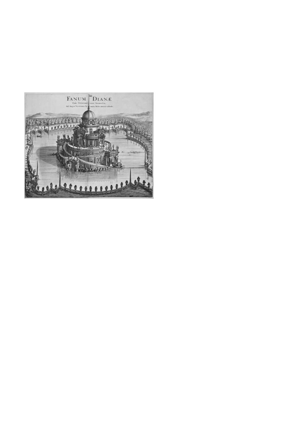
Major and abundantly illustrated
topographical atlas
of the prestigious
Northern Italian states of Piedmont and
Savoy. Originally composed and edited
by the Blaeu's (1
st
edit. : 1682) in 4 parts,
each opening on an engraved title with the
personifications of the states by Andries
Blooteling or Gerard Valck after Gerard de
Lairesse. The first 2 volumes are dedicated
to Savoy and contain : 6 engraved plates
(1 coat of arms of the dukes of Savoy,
1 genealogical table and 4 portraits (Charles-
Emmanuel II, Victor-Amédée II, Marie-
Jeanne de Savoy-Nemours and Eugène
of Savoy) plus 66 views of palaces with
gardens, public buildings, some monasteries
and churches, townplans and maps on 67 plates (large bird-eye view of Turin on 2 sheets).
Followed by 2 volumes on Lombardy containing : 1 engraved plate (monument of Charles-
Emanuel II) and 70 views, townplans and maps on 76 plates (bird-eye views of Thonon,
Aosta, Biella, Mondovi, Andorno and Garessio each on 2 sheets). All plates mounted on
guards, most on double page or folding and all high quality prints.
# Koeman Bl 107-108 ; # van der Krogt IV-1, 43:331.
● Splendid copy of the enhanced edition by R.C. Alberts : complete, in perfect condition and
with wide margins.
¶ Prachtexemplaar van deze belangrijk 4-delige topografische atlas van Piemont en Savoie met een
totaal van gegraveerde titels en 150 grote platen (de meeste op dubbele bladzijden) met afbeeldingen van
paleizen, publieke gebouwen en enkele kerken, grote panoramische zichten van steden en belangrijke
localiteiten en enkele kaarten (1ste uitg. door Blaeu, 1682). Eigentijdse perkamenten banden (enkele
kleine imperfecties en banden met lichte gebruikssporen).
¶ Bellissimo esemplare di questo importante atlante topografico del Piemonte e Savoia illustrato con
4 antiporte e 150 grande tavole raffiguranti palazzi, edifici pubblici e qualche chiesa, città, piante e mappe.
Piena pergamena coeva (leg. lievemente stanca).
¶ Très bel exemplaire de cet important atlas topographique consacré aux anciens états de Piémont et de
Savoie renfermant 4 titres gravés et 150 grandes planches (palais, bâtiments publics, églises, villes et
plans, cartes). Plein parchemin de l'ép. (rel. faiblement défraîchie).
175 – (Europe, Italie)
-
[VAN KEULEN, Gerard.- Nieuwe afteekening van het eyland
en Koninkryk Sicilia.
Circa 1720].
Gravure sur cuivre, TC 30 x 51 cm + marges, entièrement rehaussée à l'aquarelle (faiblement brunie).
Sous passe-partout (fixée par les coins sur carton de support).
Est.
:
150/ 200 €
Partie droite de la grande carte marine figurant des plans ou vues des ports de Sicile
(Palermo, Trapano, Messina, Milazzo, Agousta, Catania avec l'Etna, Sergento et Syracusa).
# Koeman IV-391 [313].